


 Back
Back

County Mapper
Prince William County has many Interactive GIS Applications that allow customers to view and query the County's GIS Data using various formats.
The most popular web application is County Mapper. This application gives users the ability to query properties by their parcel identification number or address as well as by selecting the property interactively. Users may select various data layers to display geographic information over the parcel layer.
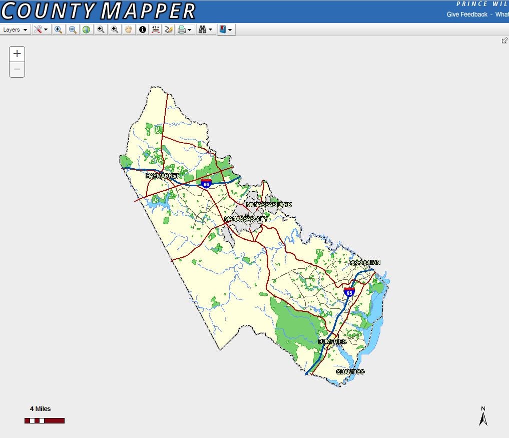
County Mapper is the current online GIS property viewer. This robust application has additional functionality over the prior versions and many improvements to the user interface. Users also have access to a Help link located on the side panel of County Mapper. The Help tab in the application provides valuable information on how to use County Mapper.
Important points to note when using County Mapper Application:
-
Aerial Imagery: This website displays different sets of aerial photography. Through the years aerial imagery has been captured at different resolutions and with different methods. At the same time other map layers have been maintained independently from the aerial imagery. Due to these differences there may be areas that do not align precisely with the aerial imagery. Data displayed on this website is for informational purposes only.
-
Pop-Up Blockers: These applications use pop-ups to display information and enhance the user experience. For best results turn off pop-up blockers for this site.
-
Internet Cookies: County Mapper utilizes Internet cookies to save personal settings within the application. Users that do not accept cookies or clear their cache frequently will be unable to utilize the MyMap feature.
-
Browser and Operating System Version(s): County Mapper is best experienced using Chrome, Internet Explorer 10.0 or higher and Mozilla Firefox.
-
Property Boundary Alignment: Due to the variety of data sources and the manner in which data is input property boundaries may not exactly align with aerial imagery. Older data sources may be especially vulnerable. These areas of discrepancy are corrected as more reliable data becomes available.
Please provide comments suggestions and additional feedback to [email protected]