


 Back
Back


GPIN
GPIN (Grid Parcel Identification Number)
The Grid Parcel Identification Number (GPIN) is a unique parcel identifier that is based on the location of a parcel's centroid, and is used to index all records associated with a parcel. The use of the GPIN simplifies the identification of parcels on a map.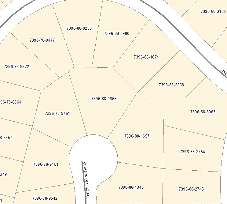
Activity that affects a GPIN
The GPIN is an identifier based on our proprietary grid, the number gives no information about what subdivision a parcel belongs to or what parcel it was created from. This information is derived from related tables describing the subdivision and the parent-parcel. If the configuration of a parcel is changed, such as any boundary adjustment regardless of the measurement, that parcel ceases to exist and a new identifier is assigned to the new parcel(s).
Any parcel separated by a road or disjoined from itself as a result of subdivision, but still considered a single parcel will be assigned a single GPIN. Each polygon associated with the parcel will be assigned an individual centroid; however, the GPINs will be identical. The choice of GPIN is performed using the GIS software and is not related to size or any other characteristics of the polygons.
Creating new parcels begins with the review of proposed development plans. Addresses are assigned to each proposed parcel during the review process. Once the approved plan and plat are recorded at the courthouse, a copy is forwarded to our office, the Geographic Information System (GIS) is updated with the parcel information, and the new GPIN is created. This process may take several weeks to complete after which the information is available in the County's GIS database.