


Forms and Fees Subject to Change July 1
CURRENT FEE SCHEDULEFEMA's Preliminary Flood Insurance Rate Maps
VIEW HEREThe County's Draft Phase 3 Chesapeake Bay Action Plan has been submitted to DEQ for review. Submit public comments to [email protected].
View Here

Forms and Fees Subject to Change July 1CURRENT FEE SCHEDULE
FEMA's Preliminary Flood Insurance Rate MapsVIEW HERE
The County's Draft Phase 3 Chesapeake Bay Action Plan has been submitted to DEQ for review. Submit public comments to [email protected]. View Here
 Back
Back


Development in Dam Break Inundation Zones
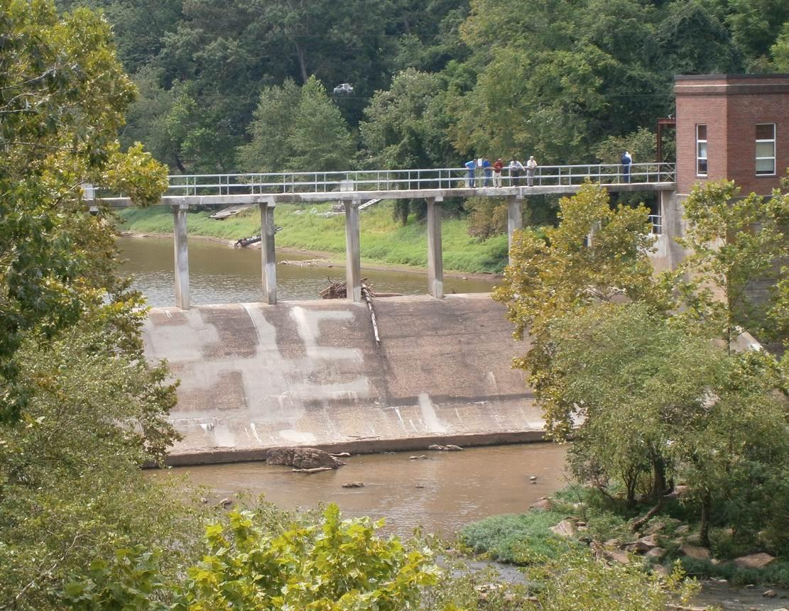
Any proposed development that will occur within mapped dam break inundation zones of state regulated dams must be identified on all Preliminary Plats, Subdivision Plan, Site Plan and Minor Site Plan submissions, effective July 1, 2009. A dam break inundation zone refers to the area downstream of a dam (also know as an impounding structure) that would be inundated by the failure of the dam.
As part of the plan review process, the county will notify dam owners and the Virginia Department of Conservation and Recreation (DCR) of any proposed development within the boundaries of a dam break inundation zone of a state-regulated dam. DCR is required to make a determination of the potential impacts of the proposed development on the spillway design flood standards. DCR will then notify the dam owner and the county of its determination. If the proposed development will change the spillway design flood standards of the impounding structure, the development cannot be approved unless it is modified or the developer contributes a payment for the necessary upgrades to the impounding structure. In addition, the Final Subdivision Plat for the development must show any part of the land proposed for a subdivision that lies in a mapped dam break inundation zone.
The requirements apply only to proposed development downstream of a dam for which a dam break inundation zone map is on file with the county at the time of the official submission of a plan to the county.
All dams in Virginia are subject to the Dam Safety Act and Dam Safety Regulations unless specifically excluded. A dam is excluded if it:
- is less than six feet high;
- has a maximum capacity less than 50 acre-feet and is less than 25 feet in height;
- has a maximum capacity of less than 15 acre-feet and is more than 25 feet in height;
- is used primarily for agricultural purposes and has a maximum capacity of less than 100 acre-feet or is less than 25 feet in height ( if the use or ownership changes, the dam may be subject to regulation);
- is owned or licensed by the federal government;
- is operated for mining purposes under 45.1-222 or 45.1-225.1 of the Code of Virginia;
- is an obstruction in a canal used to raise or lower water levels;
Please note: the height of a dam is defined as the vertical distance from the streambed at the downstream toe to the top of the dam. The maximum capacity of a dam is defined as the maximum volume capable of being impounded at the top of the dam.
Related Information
Virginia Dam Safety Program, Law and Regulations
Requirement for development in dam break inundation zones (HB 837)
For more information about dam break inundation zones and development in those areas, please contact Watershed Management at 703-792-7070.