Back
Back


Chinn Park Stream Restoration Project
Restoration of Chinn Park Streams
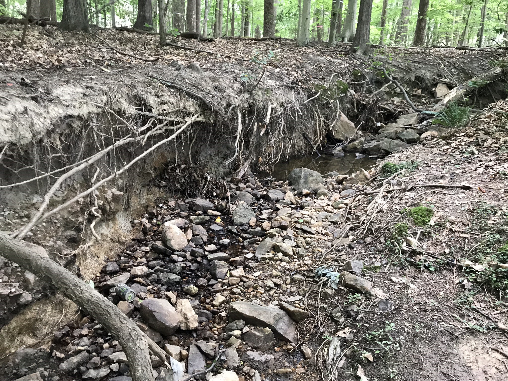
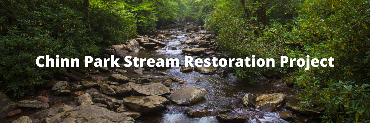
The County completed its stream restoration at Chinn Park in June 2026. The project was necessary because streams in the park became structurally unstable facing increased runoff due to historical and current land uses. This caused erosion of the stream banks, leading to sediment buildup in the stormwater pond downstream and aquatic habitat degradation.
The restoration addressed the degradation of the streams by:
- Restoring and stabilizing 2,300 linear feet of degraded headwater stream
- Reconnecting the streams to their floodplain to dissipate energy that would otherwise cause excess erosion
- Creating vernal pools in the floodplain to support amphibians, including the large salamander population that live in Chinn Park.
- Reforesting the project area with native trees and shrubs such as oak, maple, magnolia and dogwood species
- Retrofitting the existing stormwater pond with Continuous Monitoring and Adaptive Control (CMAC) technology that remotely controls water levels to better handle forecasted storms
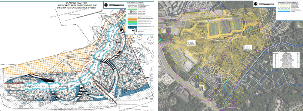
These stormwater improvements handle runoff from 27.45 acres of land upstream, 2.34 acres of which are residential development. The improvements also help neighborhoods downstream by slowing stormwater, resulting in increased flood resilience and reduced nutrient pollution from eroded sediment.
FAQs
Expand all- Why was the stream restored?
The streams in Chinn Park faced bank erosion, floodplain disconnection, and aquatic habitat degradation due to increased runoff from impervious surfaces. Eroded sediment clogged riffle habitat and filled in deeper stream pools, which severely limited habitat availability for fish and other aquatic life. The stormwater pond downstream was also filled in with sediment, limiting its effectiveness.
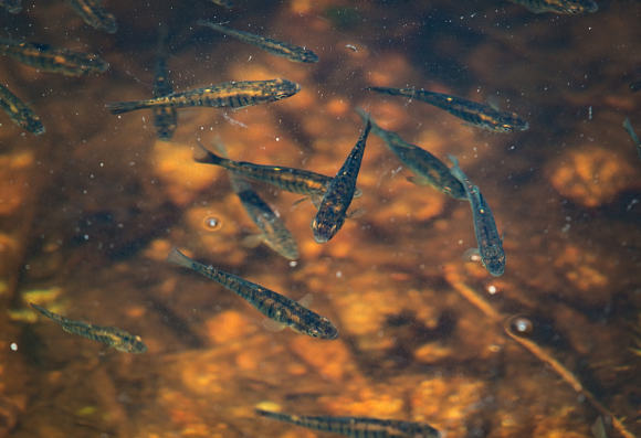
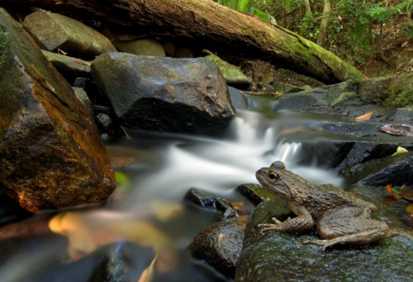
The restored stream holds more water in pools, providing a habitat suitable for aquatic wildlife as well as amphibians such as frogs and salamanders. Vernal pools have also been created on the floodplain. The native herbaceous plants, trees, and shrubs will also provide pollinator and nesting habitat.
- How did restoration impact the forest?
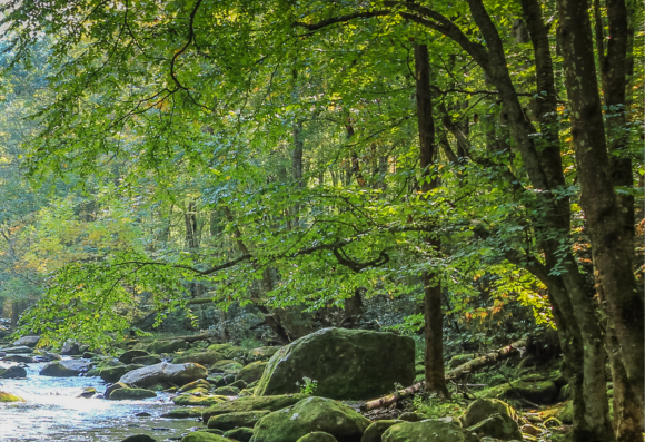
Because of the project's goals and scope, large construction equipment was necessary for earthworks, which required creating designated work zones. In these zones, public access was temporarily restricted, and trees were cleared so the equipment could regrade restoration areas and install critical stabilization structures. The County took all possible measures to limit negative impacts to the existing forest canopy, such as using smaller equipment and following the existing paved trails for access to avoid clearing more trees than necessary. After construction completed, the park was reforested with over 20 native woody species to make up for cleared trees, and public access returned to normal.
The design contractor surveyed 858 potentially impacted trees along the stream to record their size, species and location. They took each one into account while drafting the Limits of Disturbance (LOD), and were able to avoid clearing 639 trees. The 219 trees that were located within the LOD were salvaged after clearing to increase the project's sustainability.
Additionally, an herbaceous seed mix composed of 24 types of grasses, sedges and wildflowers was spread across the floodplain. They will grow in to cover the banks over the next few years.
The County is also removing a large, invasive wisteria patch that borders the project. This is an ongoing process that will span multiple years, and the County plans to reforest the area with native species once it completes.
- How were cleared trees reused for the project?
All cleared trees were reused to build in-stream structures the protect the stream banks and bed from erosion. These include:
- 27 log sills that lay across the channel and control stream grade by creating pools. The pools regulate sediment transport and prevent future downcutting.
- 43 log steps that protect stream grade by laying across the channel and acting as barriers that prevent headcuts from moving upstream
- 30 wood toes buried on the outside bank of meander bends. Woody material extends into the water, creating aquatic habitat and reducing erosion as it absorbs energy during storm events
- 17 cascade/pool structures that dissipate energy from flowing water over logs and larger stones, used in stream reaches with steeper slopes
- 30 stumps left in the floodplain or moved into vernal pools to act as habitat and dissipate energy during floods
Smaller shrubs and saplings that were cleared from the understory were also salvaged during construction; by being mixed in with riffle rocks along the channel bed. This pre-loaded the stream with organic material for aquatic life to feed on and provides snag habitat that catches decaying leaves. Additionally, the woody debris mix creates more connections between oxygenated surface waters and the hyporheic zone flowing right beneath the stream bed. These connections are important because the hyporheic zone cools and filters water as it flows through underground sediment while also providing additional habitat for specialized organisms.
- How many trees were reforested, and what species are they?
Once the stream structure was complete, contractors reforested the LOD with 1,970 native trees/shrubs and live-staked the banks with an additional 4,300 trees. To boost biodiversity, 28 native species were chosen. These include:
- Canopy Trees: Chesnut Oak, White Oak, Willow Oak, Red Maple, Pignut Hickory, Common Persimmon, American Sycamore, American Holly, American Beech, Sweetbay Magnolia and Black Gum
- Understory Trees/Shrubs: Red Chokeberry, Buttonbush, Virginia Sweetspire, Spicebush, Arrowwood, American Hornbeam, Flowering Dogwood, Common Witch-hazel, Smooth Hydrangea, Sweet Fern, Mountain Laurel, Highbush Blueberry, Swamp Azalea, Pinxterbloom Azalea and Great Rhododendron
- Live Stakes: Silky Dogwood, Silky Willow and Spicebush
- How will the County ensure project success?
Upon completion of the project, County staff will conduct an initial monitoring period (years 1, 2, 3 and 5) in which quarterly inspections of structural stability and annual surveys of vegetative species' composition are performed. Results will be reported to the US Army Corps of Engineers to ensure permit compliance. Invasive species management is critical and will occur as needed while the site establishes.
Once the initial monitoring period has ended and the site has been shown to remain stable over time, monitoring will be reduced to annual walkthroughs.