


 Back
Back


DPA2022-00004: Historic Overlay District - Thoroughfare Area
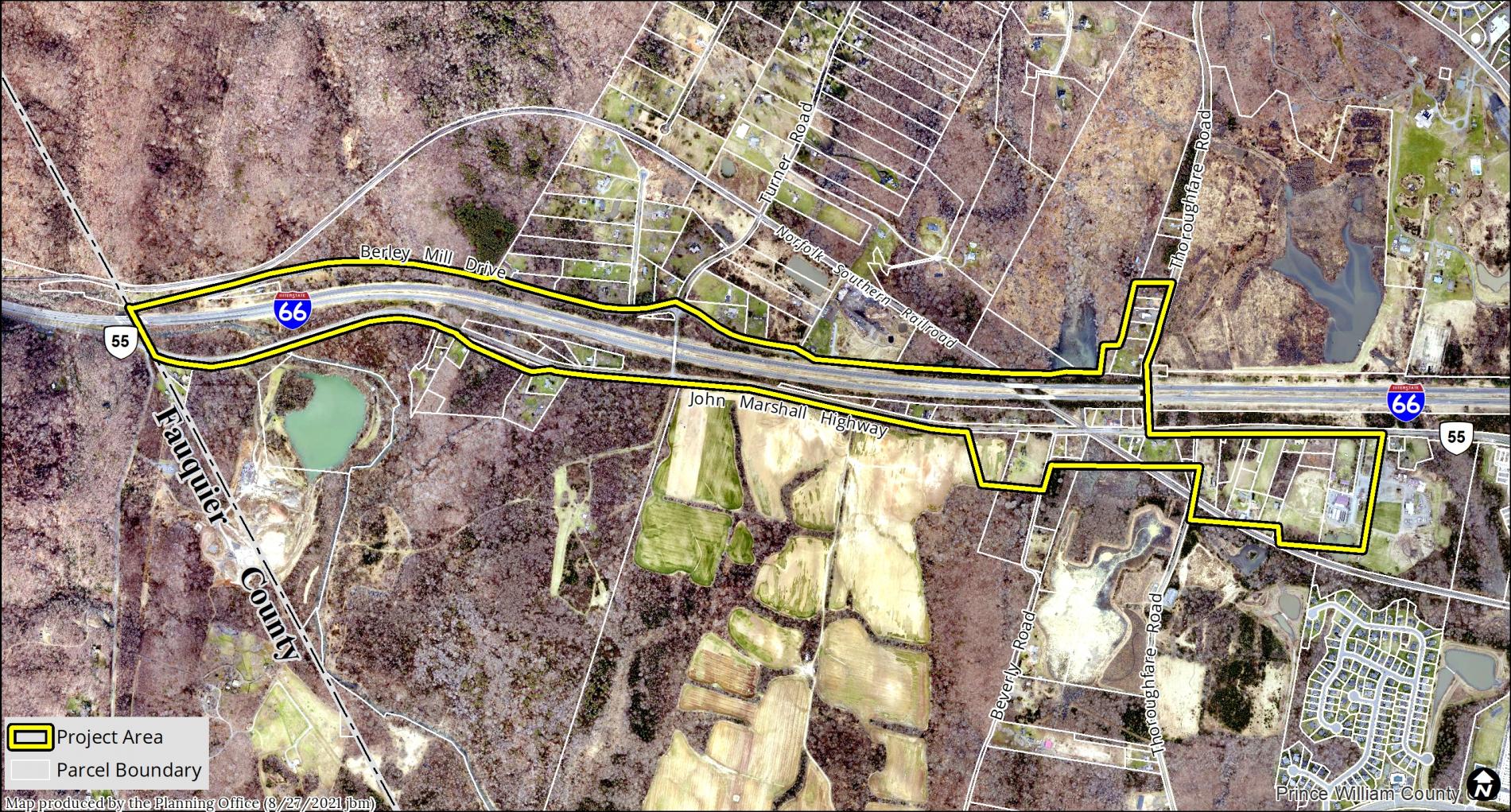
On May 18, 2021, the Prince William Board of County Supervisors requested through DIR 21-40, that staff initiate, study, and propose a Thoroughfare Historic Zoning Overlay District. The study area begins in the Thoroughfare area and continues westward along John Marshall Highway (VA Route 55) to Thoroughfare Gap.
On June 15, 2021, through Res. No. 21-358, the Board of County Supervisors initiated a zoning text amendment to the Zoning Ordinance, an amendment to the Design and Construction Standards Manual (DCSM) and an amendment to the 2040 Comprehensive Plan in order to address the preservation and protection of historic and cultural resources and properties in the Thoroughfare area, including, but not limited to, African-American and Native American cemeteries and burial grounds, Chapman’s Mill, Oakrum Baptist Church, and other African-American and Native American cultural and historical sites.
- What is the Purpose of a Historic District?
The purpose and intent of a Historic Overlay District is to protect and perpetuate those areas or structures which have been designated as being of significant historic, architectural, or cultural interest. Historic Overlay Districts do not prevent development of property for by-right uses but establish procedures that must be followed before development occurs. Regulations imposed in such districts are intended to protect against destruction of or encroachment upon such historic resources, to encourage uses that will continue to preserve them and to prevent the creation of adverse environmental influences. Historic Overlay Districts primarily focus on ensuring architectural compatibility of buildings and structures within a historic district.
- Policy Development
A number of steps or phases are involved in designating historic zoning overlay districts. Localities need to identify and inventory all landmarks, buildings, and structures in the areas being considered for inclusion with the proposed district. It is anticipated that architectural and archaeological surveys will be necessary to prepare these inventories. After the architectural and archaeological surveys, updated zoning text and design review guidelines should be proposed for the district.
The work associated with the creation of a historic overlay district for Thoroughfare requires the utilization of historic preservation and archaeology professionals and consultants to conduct architectural and archaeological studies.
Landowner and community outreach are an essential component of multiple phases in this effort, as well as reviews of the district by the Architectural Review Board (ARB), the Development Ordinance Review Advisory Committee (DORAC), the Planning Commission, and the Board of County Supervisors.
- Thoroughfare Community Research Program
The Department of Parks and Recreation has started the Thoroughfare Community Research Project, which is managed by the Office of Historic Preservation. The results of this research program will inform the content of the future historic overlay district.
For more information on the Thoroughfare Community Research Project visit the Thoroughfare Community Updates web page.
Questions or Comments?
- Email [email protected]
- Complete the Comment Form
To receive automatic updates about general county government information, including Planning Office notifications, road closures, tax reminders, and other community information subscribe to PWC Alerts.
All comments are subject to the Virginia Freedom of Information Act, including any personal information.